Archive for April, 2016
Shell Beach…
by Rodney Campbell on Apr.21, 2016, under Life, Photography
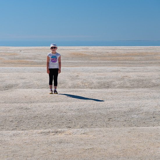
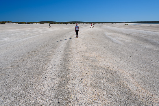
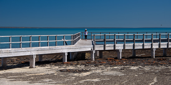
Shell Beach is located 45 kilometres south-east of Denham in the Shark Bay World Heritage Area. This beautiful snow-white beach is made up of millions of tiny shells up to 10 metres deep and stretching for over 120 kilometres. It is one of only two beaches in the world made entirely from shells. Over time, the shells have formed a limestone that is known as Coquina.
Shell Ripples
Note: These photographs (especially the wider shots) look much better when larger – so click any of the images below to see larger versions in an inline overlay slideshow gallery viewer.
Shell Beach
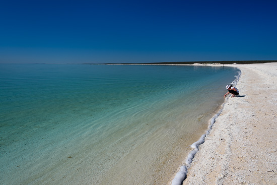
The shells were once mined and used to build the walls of buildings in the area, some of which can still be seen today. On a still day, the ocean at Shell Beach transforms into a palette of the most intense greens blues.
Crystal Waters
It was spectacularly beautiful here – even on an intense bright day like this. Clear blue skies may not have been so conducive for photography but my daughter and I both enjoyed the beauty of our visit.
Hamelin Pool – Stromatolites…
by Rodney Campbell on Apr.19, 2016, under Life, Photography
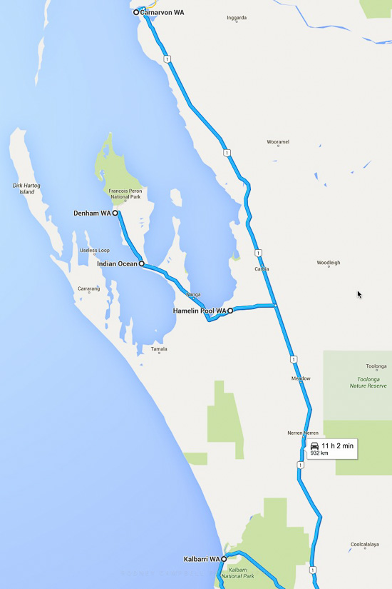
We left Carnarvon and headed south towards Denham. First stop was Hamelin Pool where we’d take a look at the famous Stromatolites.
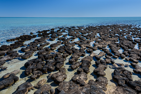
Living Rocks
Note: These photographs (especially the wider shots) look much better when larger – so click any of the images below to see larger versions in an inline overlay slideshow gallery viewer.
In the hyper-saline water of Hamelin Pool at the base of Shark Bay’s eastern gulf the rocks aren’t quite what the appear to be. They are living things, Stromatolites, which are the oldest living organisms on the planet. Some scientists believe they were the first living things on mother earth – perhaps 3.5 billion years old.
Hamelin Pool is the location of the best example in the world of living marine stromatolites. The water of Hamelin Bay is twice as saline as usual sea water because of a bar across the Bay’s entrance and rapid evaporation from the shallow water. Most living animals, which feed on the bacteria and algae of which stromatolites are composed, cannot tolerate such saline conditions. As a result stromatolites can grow here successfully, undisturbed. Most stromatolites are extremely slow growing. Those in Hamelin Pool grow at a maximum of .3mm a year, so those which are up to a metre high are hundreds if not thousands of years old.
Stromatolite Walk
Shark Bay
Quobba…
by Rodney Campbell on Apr.17, 2016, under Life, Photography
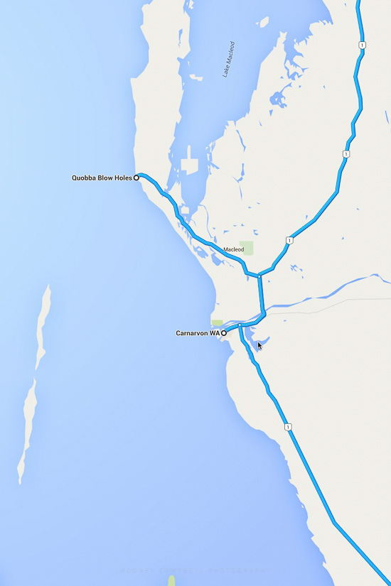
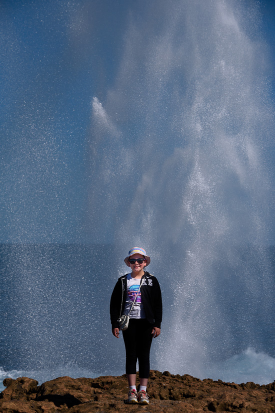
Today we were going on a day trip to Quobba to visit the blow holes.
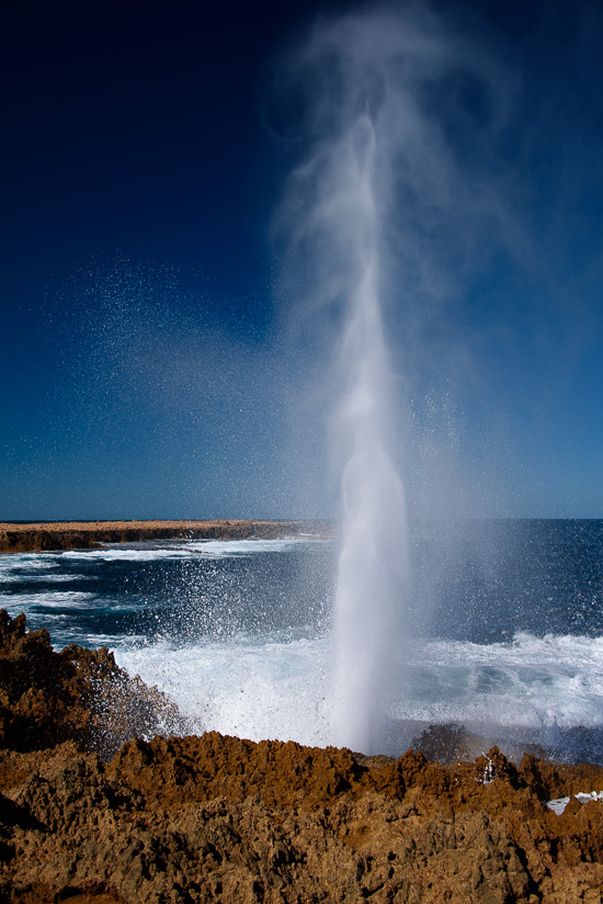
Discovered in 1911, the Blowholes are located 73km from Carnarvon to the north. A powerful jet of water is forced with enormous pressure through holes in the rock, sometimes to a height of 20m. One kilometre south of the Blows lies a pristine beach protected by a coral reef.
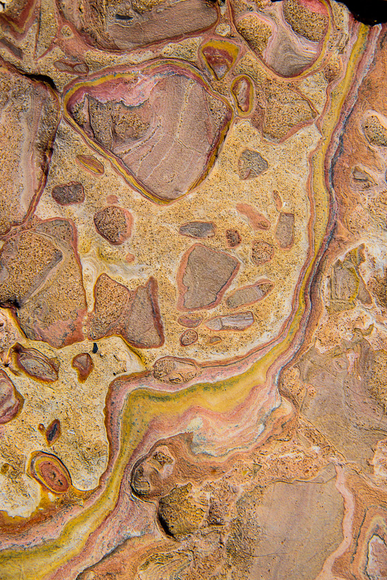
Note: These images (especially the wider shots) look much better when larger – so click any of the images below to see larger versions in an inline overlay slideshow gallery viewer.
Quobba Blow Holes
Nearby to the north is a memorial to the battle between HMAS Sydney and German auxiliary cruiser Kormoran. Both ships were lost at sea in the battle and all 645 souls on the HMAS Sydney were lost. It was the largest loss of life in the history of the Royal Australian Navy, the largest Allied warship lost with all hands during World War II.
Candy Rock
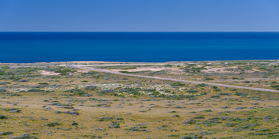
We also visited the Quobba Lighthouse which sits atop a nice hill near the coast with spectacular views of the coastline.
Quobba View
Bound for Carnarvon…
by Rodney Campbell on Apr.16, 2016, under Life, Photography
Carnarvon is a coastal town situated approximately 900 kilometres north of Perth in Western Australia. It lies at the mouth of the Gascoyne River on the Indian Ocean. The popular Shark Bay world heritage area lies to the south of the town. Exmouth and the Ningaloo Reef where we just came from lies to the north.
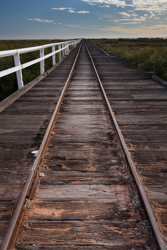
On Rails
We arrived late in the afternoon and after checking in to our site (we were staying for two nights here) we went to visit the local town.
First stop was the historical One Mile Jetty which was built in 1897. We didn’t walk the 1.6km out to the end but we looked around at the museum here.
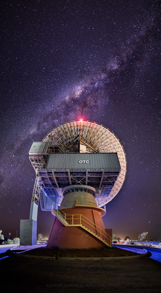
In the evening after dinner I went to visit Carnarvon’s OTC Dish (Earth Tracking Station). It was built in conjunction with NASA in 1966 as a satellite communications and tracking station. The station was involved in the Apollo space missions. The dish is 29.6m in diameter and weighs 300 tonnes. It’s been retired for some time now but I was hoping to use it as foreground interest in some milky way shots of the stars.
The Dish
More information about this shot and the process involved in crafting it can be found on my blog under The Story behind “The Dish”.
Tropic of Capricorn…
by Rodney Campbell on Apr.15, 2016, under Life, Photography
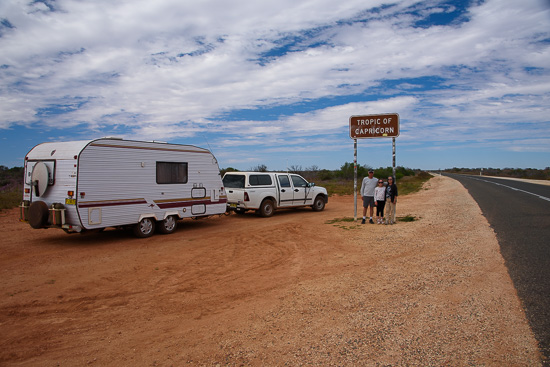
Today we’d leave Exmouth, bound for Carnarvon. On the way we’d pass through the Tropic of Capricorn.
The Tropic of Capricorn is one of the five major circles of latitude that mark maps of the Earth. It is the dividing line between the Southern Temperate Zone to the south and the tropics to the north.
Tropic of Capricorn
Note: These photographs (especially the wider shots) look much better when larger – so click any of the images below to see larger versions in an inline overlay slideshow gallery viewer.
This Southern Tropic is the circle of latitude that contains the subsolar point on the December (or southern) solstice. It is thus the southernmost latitude where the Sun can be directly overhead. Its northern equivalent is the Tropic of Cancer.
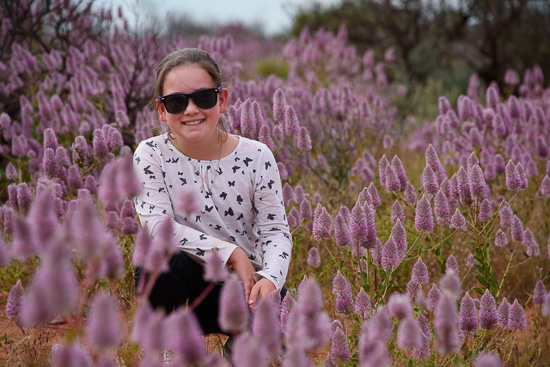
Stopping to take a few photos allowed us some time to take a quick break and take some shots of my lovely daughter in the abundant Mulla Mulla flowers.
Girl in the Mulla Mulla
