Archive for October, 2019
Miaboolya Beach
by Rodney Campbell on Oct.16, 2019, under Life, Photography
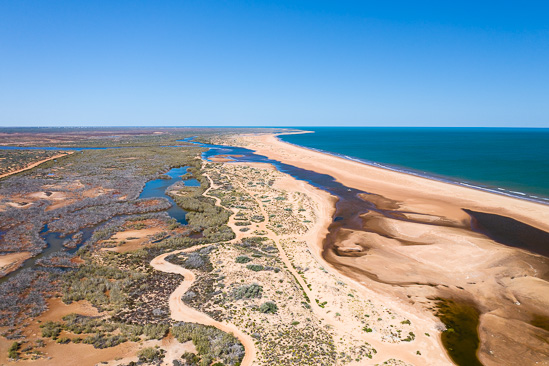
We were back in Carnarvon for three more days. We decided to visit somewhere I’d not been before – nearby Miaboolya Beach
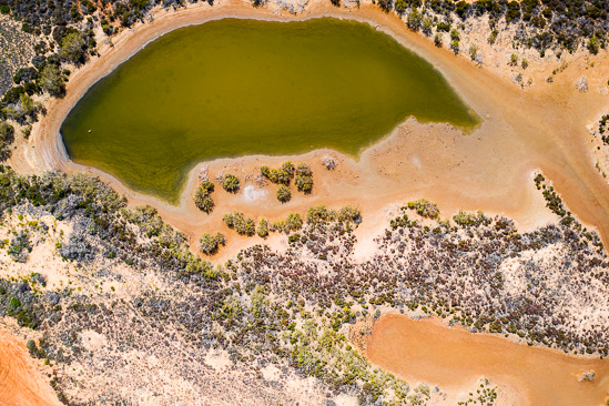
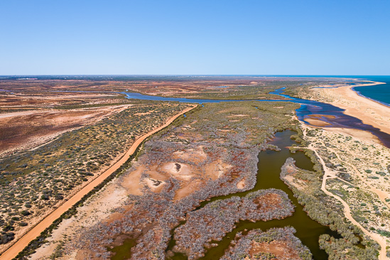
Miaboolya Beach is part of the Gascoyne River delta and is a short drive north of Carnarvon. It is home to a rich array of species and habitats – including an important fish nursery. Popular with locals and tourists for recreational fishing, crabbing and swimming. It is also culturally significant to Aboriginal people
Miaboolya
Note: These photographs (especially the wider shots) look much better when larger. To see larger versions in an inline overlay slideshow gallery viewer click any of the images.
I was happy to come here because I’d also recce’d the location on Google Maps before coming on this trip. I’d seen that it was likely a good candidate for some drone photography
Pork Chop
Wetland
The Cobbled Road
by Rodney Campbell on Oct.15, 2019, under Life, Photography
We were leaving the Kennedy Range today and heading back to Carnarvon for a couple of days
We’d originally intended on staying at Gascoyne Junction for the night, but, well, there’s basically nothing there 🙁
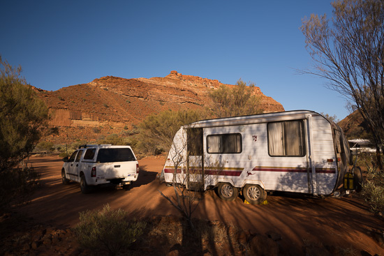
Temple Gorge Campground
Note: These photographs (especially the wider shots) look much better when larger. To see larger versions in an inline overlay slideshow gallery viewer click any of the images.
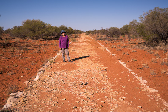
On the way out we stopped at this historic cobbled road that we had seen when we were driving in here a few days ago
Cobbled
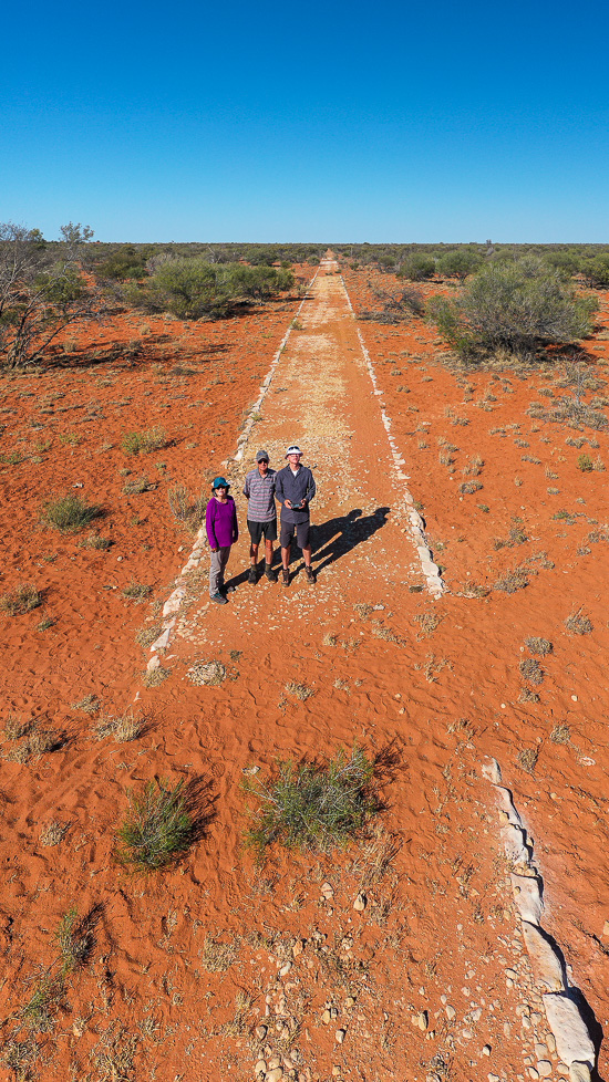
Cobbled roads were used all around the Gascoyne Junction area and were built by men with pick and shovel during the Great Depression years of the 1930s
A work for the dole scheme funded the upgrades to the original roads that were often impassable after rain. The road was cobbled over the boggy sections to allow the mail run to get through
Cobbled Road
From the air you get a better view of the old cobbled road heading off into the distance
Transverse
Shadow Trail
by Rodney Campbell on Oct.14, 2019, under Life, Photography
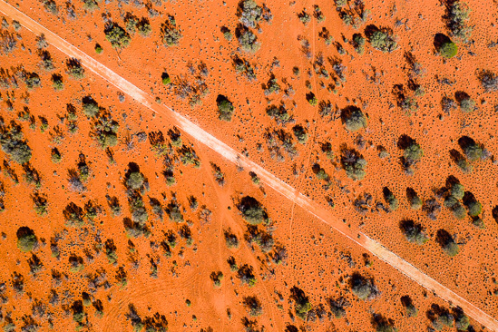
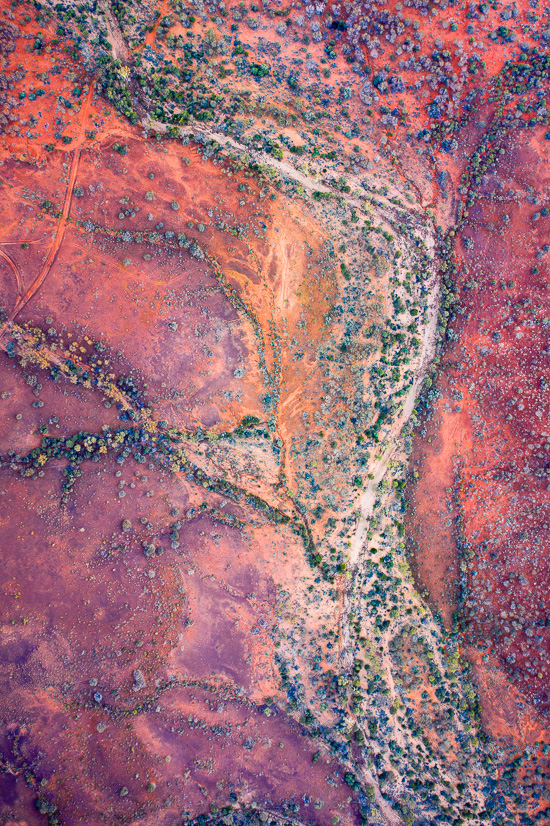
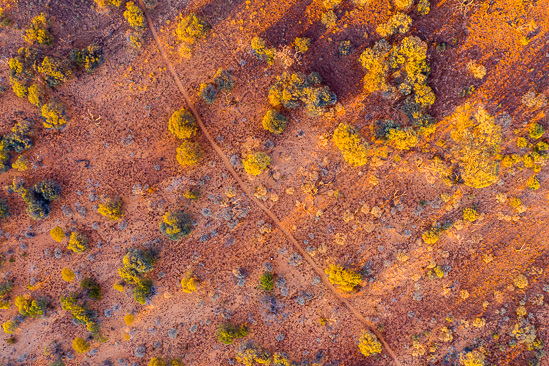
With the sun now risen it was time for a few more downward facing images
Flow
Then it was time to land and pack up before heading back to the campground for breakfast
Note: These photographs (especially the wider shots) look much better when larger. To see larger versions in an inline overlay slideshow gallery viewer click any of the images.
Shadow Trail
Look carefully (play where’s Rodney) and you’ll find me down below next to the trail
Kennedy Burn
by Rodney Campbell on Oct.13, 2019, under Life, Photography
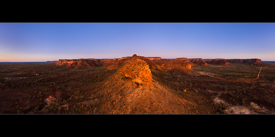
Flying even further out so that I was well past the end of this long ridge. Allowing me to look back from the point with the Kennedy Range spreading out into the distance on both sides
Kennedy Burn
Note: These photographs (especially the wider shots) look much better when larger. To see larger versions in an inline overlay slideshow gallery viewer click any of the images.
The sun is about to rise (behind me) in the next couple of minutes – one last chance for a 180˚ panorama before it comes up
Kennedy Range @ Sunrise
by Rodney Campbell on Oct.12, 2019, under Life, Photography
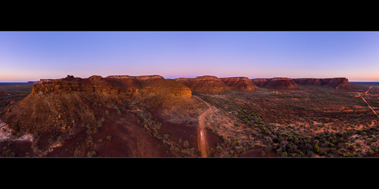
The Kennedy Range is an eroded plateau located on the rim of the Gascoyne River catchment about 160km from the coast. The range experiences a desert climate
Around 250 million years ago, the Gascoyne region was a shallow ocean basin off the edge of the ancient Australian continent. It filled with sediment, which later became compressed to form layers of sandstone and shale. Movements in the Earth’s crust brought these above sea level where erosion has stripped away much of the rock
Kennedy
Note: These photographs (especially the wider shots) look much better when larger. To see larger versions in an inline overlay slideshow gallery viewer click any of the images.
The Kennedy Range is a remnant of the land surface that elsewhere has been worn away but here forms a mesa some 75km long and up to 25km wide, oriented north to south
The southern and eastern sides of the range have eroded to form spectacular cliffs that rise 100m above the Lyons River Valley plain. These are dissected by a maze of steep-sided canyons, which have short-lived streams after rain
These west facing ranges make for some spectacular views at sunrise. The campground is also nestled right at the base of the range. This gives very easy access to the spectacular scenery
